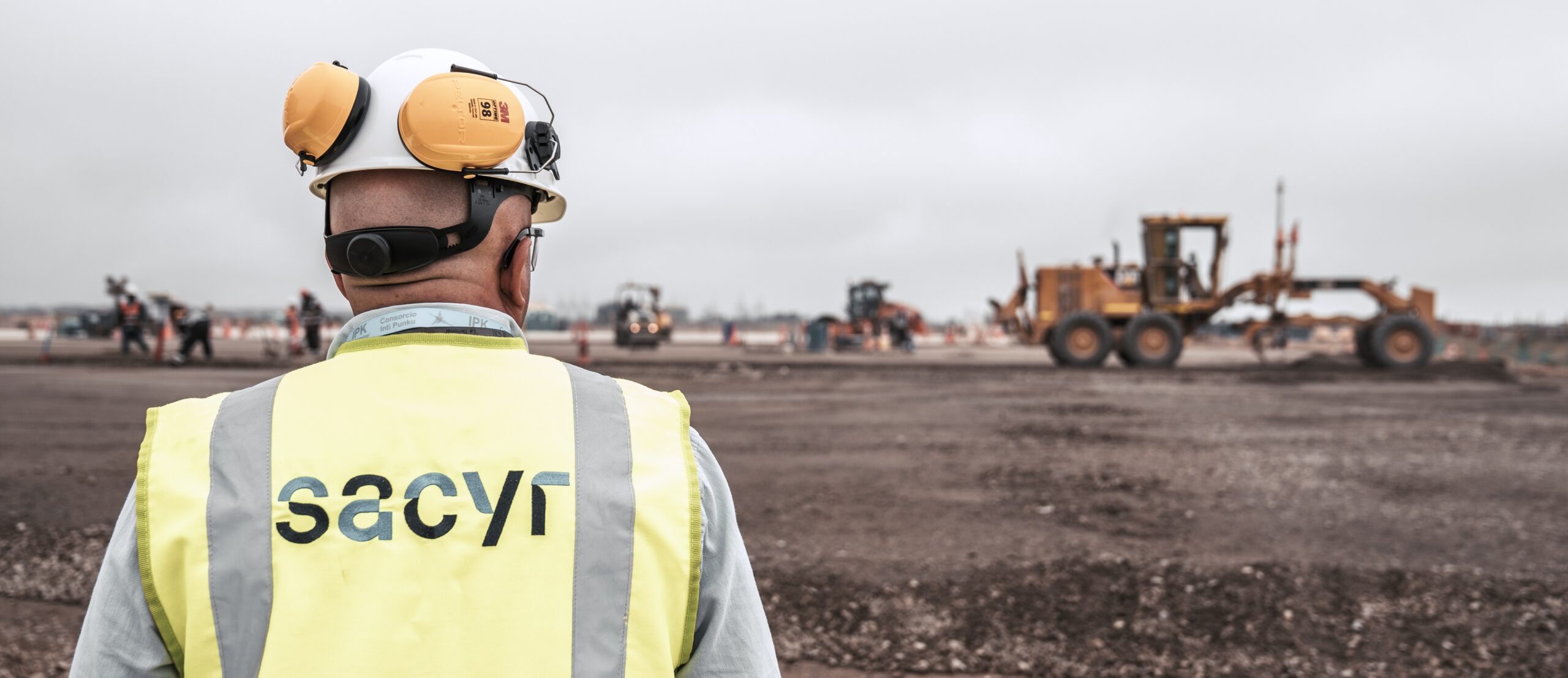
Sophisticated construction technology solutions have been playing key roles in the delivery of Peru’s massive Jorge Chavez Lima International Airport project.
Lima’s upgraded international airport will be one of the largest in Latin America and Sacyr has a 51% controlling stake in the construction project, with Cumbra holding the remaining 49%. Meanwhile, the Spanish engineering firm Cemosa provided much of the design work for the project. The airport authority, Lima Airport Partners (LAP), has a 40-year concession to operate the facility. LAP is part of the Fraport Group, which operates over 30 airports around the world, with an 80.01% stake, and the International Finance Corporation, part of the World Bank Group with 19.99% stake.
The airport first opened in 1960 and is already one of the largest and best-connected in Latin America while the upgrade work will further boost its presence in the aviation sector. Named after Peru’s famous pioneering aviator, Jorge Chavez, the airport sits on a massive site. At its peak, up to 7,000 people have been working on the upgrade project. One innovative feature of the new facility will be the novel seismic isolation system for the airport terminal, which covers an area of 270,000m2, has five levels and will have the capacity to handle around 40 million passengers/year when complete. This isolation system will ensure protection of the structure in the event of an earthquake, a necessary feature as Lima is in a zone known for seismic events.
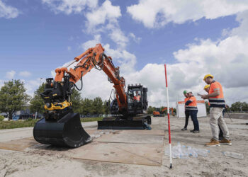
Carrying out the project has brought advances to Peru’s construction sector, with the implementation of various new technologies. The project team has been utilising modern building information model (BIM) systems and advanced surveying, grade control and coordination systems. The scope of the project covers the earthwork, infrastructure and building construction for the new airport facilities, including a large parking lot and taxiways, asphalt paving in terminal and commercial areas, and the installation of underground utilities.
A key feature of the new airport is the new runway that measures 3,841m in length, long enough to be used by the largest commercial aircraft, and which also benefits from the latest lighting systems.
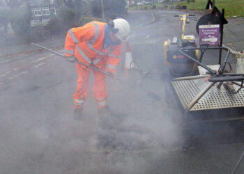
The runway has been paved with an asphalt surface 40cm thick, paved in three layers. To ensure optimum paving quality, the firm used two pavers working in echelon. This helped deliver a quality surface with a hot-to-hot joint, eliminating the risk of future water ingress and ensuring that there will be no future problems from freeze-thawing. Special grades of asphalt suitable for aviation purposes were selected for the project, meeting the US P401 and P403 standards. Similarly, aviation grade concrete meeting US standards was also used for the aircraft parking areas, which total around 70,000m2.
Carlos Ruiz Miranda from SACRY has been acting as chief surveyor for the project. He said, “One of the main concerns was synchronising design data and information flow between the field and office to facilitate the execution of the project.”
He said that to further ensure a quality paved surface, the firm utilisedutiliszed Trimble’s PCS900 3D control technology on the asphalt pavers. This has been a significant step and commented, “This is the first time we’ve used it in Peru.”
In addition, the PCS900 3D system has also been used on the concrete pavers carrying out the concrete surfacing work. Because this was the first time sophisticated 3D technology has been used in Peru, Trimble provided the training and support needed for the paving crew.
Building the new runway has been a complex process. He commented, “It took two years for all the earthmoving work and to complete the asphalt.”
In addition to being used for the new runway and the aircraft parking areas, 3D technology has also been utilised to deliver 10km of internal roads within the facility allowing for ground traffic around the site.
Ruiz explained that the use of 3D technology was not part of the original plan for the airport. He said, “They started with conventional techniques and then realised they could do it a better way.”
However, using this technology for the project has delivered distinct advantages for the construction partners. Ruiz said, “We increased production and reduced human error as well as cost.” He continued, “The levelling of the concrete is perfect.”
Data was delivered directly to the asphalt paving equipment as well as the concrete paver from the project team’s BIM Department, using Trimble Connect. Ruiz said, “We sent data to the machines and then recovered as-built data to our computers.”
In addition, Ruiz explained that utilising 3D systems meant that the construction team was also able to complete both the concrete paving and asphalt paving components of the project ahead of schedule.
The project was designed to the latest BIM standards, with around 2,700 active BIM models and including more than 80km of utilities that will be constructed by multiple contractors.
“With this many BIM models, trying to ensure that everyone in the field was working to the latest model or geometric modification, even just managing survey control, stakeouts and grade checking, was proving to be a challenge,” said Ruiz. “We needed a way to better share data.”
The engineering team utilised design review and cloud-based collaboration software to coordinate design. However, these tools do not have the features that connect the field and office, according to Ruiz. He led the implementation of a fully synchronised field-to-office-to-field digital workflow that has improved coordination and productivity across departments, while most importantly, keeping the project on track.
The first step in his plan was to implement a cloud-based common data environment (CDE). He opted for Trimble Connect. Ruiz explained, “This technology provides us a centralised collaboration platform. It synchronises the right information at the right time, providing automatic interference reviews while supporting CAD analysis. The construction crew and field surveyors have everything synchronised in that platform. Information is automatically available in near real-time.”
This CDE became a central hub for managing data from field solutions that might include laser scanners, uncrewed aerial vehicles (UAVs), grade control systems, total stations and GNSS systems that gather positional data to centimetre accuracy, and a range of heavy equipment from excavators to paving systems, which were equipped with machine control systems.
A critical part of the terminal expansion is for the new aircraft parking areas that surround it. The team employed the Trimble GCS900 Grade Control System guided by a Trimble Universal Total Station (UTS) on a Cat 140K motor grader to meet the strict tolerances on subbase and base layers and the Trimble PCS900 Paving Control System on an asphalt paver for improved accuracy and quality control.
Trimble WorksManager has been used for the transfer of data from the office to the machines at the jobsite. This ensures that current models were loaded on the machines and that the as-built conditions met the tight specifications defined by the owner. Trimble WorksOS Software tracked jobsite productivity.
“The combined paving and grading systems allowed us to work in large areas with efficiency and accuracy,” said Ruiz. “We’ve seen a significant reduction in rework because the deviations from design grades are minimised. I showed the WorksOS layout report from the PCS900 to my manager. It showed that our crews are paving to 10mm accuracy, well below the 18mm requirements. If there were issues, the near real-time data collection and reporting tools allowed us to identify and resolve them quickly.”
With so many pieces to this project in the terminal and surrounding areas, the SACYR survey team found that an essential technology allowing office-to-field data workflow has been augmented reality (AR).
“Initially, we tried using paper printouts to manually check for issues in the field; we tried Google Earth, but that was not satisfactory,” said Ruiz.
Instead, SACYR turned to Trimble SiteVision augmented reality software to collaborate and manage tasks between all of all the different groups and departments of the project with real-time visualisation of data to support decision-making and provide insight into potential issues.
“Using Trimble SiteVision on infrastructure projects offers significant advantages,” said Ruiz. “It facilitates accurate, real-time visualisation of data, improving decision-making and planning and allows effective communication between teams, reducing errors and costs. In addition, it improves efficiency and precision in project execution, which translates into a higher quality final resultresult and shorter deadlines. In short, Trimble SiteVision is a valuable tool for optimizing optimising the management and execution of infrastructure projects.”
Tasks can be assigned and statuses tracked to help coordinate work across teams. He found that any issues or anomalies detected during construction can be more easily communicated and addressed. It helps synchronise inspection/quality check processes to ensure all parties are using the latest information.
“On this project, it is an important tool for managing the many moving parts and stakeholders,” said Ruiz. “The visual interface provides a terrific oversight of project progress.”
Ruiz added, “The use of technology on this project has helped us manage all the many pieces of this massive effort in a more collaborative manner. There’s better organisation of the information in general, which has reduced human error and greatly improved access. Bottom line, the entire team is just better connected.”
With the completion of the new runway, the existing runway is being closed for resurfacing with asphalt as well as the installation of new lighting. “To meet the new standards,” Miranda Carlos commentedRuiz commented. This paving work for the existing runway is scheduled to commence in June 2025.
When the upgrade of the existing runway is complete, the airport will have two runways that will be able to handle flights simultaneously and which will feature the latest aviation technology, boosting capacity as well as safety for travellers.
The geology of the site has not posed issues for the project team. However, Ruiz said, “The biggest challenge came from the dimensions of the airport, which required a lot of work and a lot of documents.”
Design changes would have posed challenges given the size of the project but the project team used Trimble Connect to upload design changes and ensure that these could be implemented quickly to all partners.
Using integrated technologies for a major construction project in Peru has been a first but has clearly shown the benefits of using the technology. Sacyr plans to use the experience gained from building the new airport for its next Peruvian mega project, the new bypass route around Lima. Construction of this new route will commence in late 2025 and will be carried out in partnership between SACYR, Acciona and Ferrovial, with the work expected to take nine years to complete.